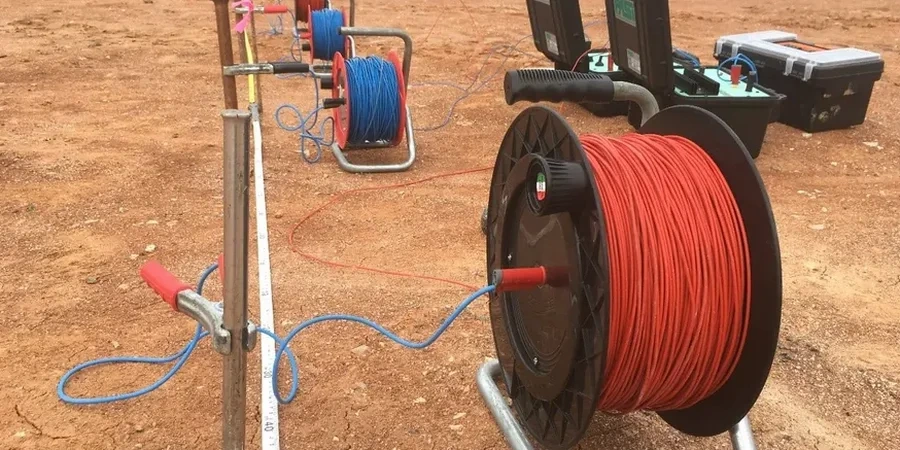
The georesistivimeter deploys four stainless steel electrodes in a straight line across the site. We use a Wenner array for most Jersey City projects. The current flows between the outer stakes. The potential drop is measured by the inner pair. This gives apparent resistivity at a specific depth. The system is compact but powerful. It fits into the tight lots near Journal Square and Greenville. We run the switchbox through successive spacings. Each expansion pushes the investigation deeper. This builds a 1D vertical profile without turning a single auger. For sites with complex fill history, we pair the electrical sounding with a test pit program to ground-truth the top 10 feet before going deeper with the VES interpretation.
The VES method resolves the fill-to-natural-ground contact without a single borehole—critical in Jersey City’s historically placed fills.
Service characteristics in Jersey City
Critical ground factors in Jersey City
Winter freeze-thaw cycles are short but intense in Jersey City. Frozen surface soil creates extreme contact resistance. The current cannot penetrate. We pre-soak electrode positions with saline solution when temperatures drop below 28°F. Summer brings a different problem. The shallow water table rises after heavy nor’easters. This saturates the fill and compresses the resistivity range. We counter it by running the sounding within a 48-hour dry window. Underground utilities also create noise. The buried power lines along Bergen Avenue induce stray currents that distort the potential measurement. We map all utilities first. The electrode line is offset at least 15 feet from any known metallic pipe or conduit.
Our services
Our VES surveys in Jersey City support a range of subsurface investigations. Each program is tailored to the specific depth target and site constraints.
Depth-to-Bedrock Sounding
We run expanded Wenner spreads to 150 ft to map the bedrock surface beneath downtown Jersey City. The resistivity contrast between saturated overburden and competent shale or basalt is typically a factor of 5 or more. We provide a contoured bedrock surface map for foundation design.
Groundwater and Contamination Profiling
Leachate from historic industrial fill generates a distinct low-resistivity signature. We run VES lines parallel to the waterfront to delineate the freshwater-saltwater interface and identify areas of elevated conductivity associated with contaminant plumes.
Common questions
How much does a VES survey cost for a standard Jersey City lot?
A single VES sounding on a standard 25x100 ft lot in Jersey City ranges from US$610 to US$940. The cost depends on the maximum electrode spread length and the number of depth levels we process. A full 1D inversion with 12-18 data points and a final report falls within this range. Sites with heavy underground utility congestion may require additional setup time.
What depths can the VES method reach in Jersey City?
The rule of thumb is that the investigation depth equals roughly one-third of the total electrode spread. With a 300-ft maximum spread on an open site, we can reach 100 ft below grade. On tight urban lots, the practical limit is 40 to 60 ft. The target must have a resistivity contrast with the surrounding material to be detectable.
Can VES differentiate between clean fill and contaminated fill?
It can, but indirectly. Clean sandy fill has a moderate to high resistivity. Fill saturated with leachate or saline water shows a sharp drop in resistivity. We map these lateral changes across a site. A VES sounding alone cannot identify the specific contaminant. It flags the zone of anomalous conductivity. Follow-up with soil sampling confirms the chemistry.
How does the shallow water table near the Hackensack River affect the VES readings?
The high water table is actually an advantage for VES. Saturated materials conduct current better than dry materials. This gives us a stronger signal and deeper penetration with less power. The tradeoff is that the resistivity range compresses. We lose some resolution between different saturated layers. We compensate by tightening the electrode spacing increments in the upper 30 ft to capture subtle changes in the fill column.