Too many foundation designs in Jersey City start with incomplete subsurface data. A boring log tells you what's directly below the rig—but it doesn't reveal what lies between two boreholes spaced 50 feet apart. That gap is where the surprises live: a buried boulder field from the Wisconsin glaciation, a sudden drop in the top of rock, or an uncharted paleochannel filled with soft organic silt. Seismic tomography closes this information gap by generating a continuous 2D or 3D velocity model of the ground using acoustic waves. The method splits into two approaches—refraction for mapping competent bedrock layers and reflection for delineating finer stratigraphic boundaries—and both are non-invasive. In a city where the contact between the Lockatong Formation and overlying glacial drift can shift abruptly, relying solely on point-source drilling is a risk no structural engineer should accept. We run these surveys alongside geotechnical borings so the SPT drilling program targets the right depths and the geophysical profile ties the soil stratigraphy together across the entire site.
A 2D seismic refraction line between two borings can reveal a 20-foot drop in bedrock that neither boring alone would detect—and that changes the pile count.
Service characteristics in Jersey City
Critical ground factors in Jersey City
Jersey City's development history amplifies the consequences of incomplete geophysics. The waterfront stretching from Exchange Place to Newport was once tidal marsh and railroad yard—filled, graded, and built upon in successive waves since the mid-1800s. Beneath the fill, the buried valley of the ancestral Hudson River carved deep into the bedrock, leaving soft estuarine silts and varved clays that compress under load and amplify ground motion during seismic events. A reflection survey that misses a 15-foot pocket of organic silt between two dense sand layers sets the stage for differential settlement that cracks partition walls and misaligns elevator rails. In the Journal Square area, where the bedrock surface is shallow but highly irregular, skipping refraction tomography means the pile tip elevations get estimated by interpolation—a gamble that backcharges the contractor when half the H-piles refuse on a high spot and the other half punch through into weathered rock. The cost of a supplemental seismic line is trivial compared with a foundation redesign mid-construction.
Our services
Our seismic tomography services in Jersey City are structured around the specific subsurface challenges of Hudson County—from mapping the bedrock trough beneath the Newport waterfront to identifying abandoned bulkheads and buried foundations in Brownfield redevelopment sites. Each survey is designed and processed in-house by a geophysicist who understands local geology.
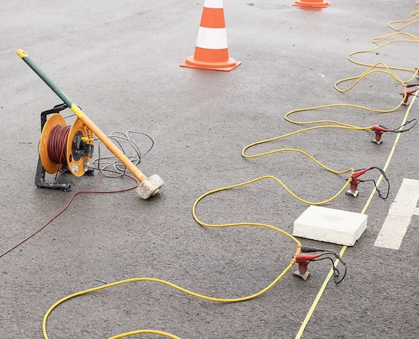
P-wave Refraction Tomography
Ideal for mapping depth to competent bedrock and identifying rippability zones. We deploy spreads up to 240 feet with a 12- or 24-lb sledgehammer source, resolving the top-of-rock surface to within 2-foot accuracy across the profile.
SH-wave Reflection Profiling
Polarized shear-wave surveys that image stratigraphic boundaries below the water table. Particularly effective in the loose-to-medium sands and interbedded silts common in the Meadowlands and Liberty State Park areas.
MASW for Vs30 Site Classification
Multi-channel surface wave surveys that generate a 1D shear-wave velocity profile down to 100 feet, allowing direct determination of Site Class per ASCE 7 without advancing a borehole—essential for preliminary structural design phases.
Combined Geophysical & Geotechnical Integration
We correlate seismic velocity models with SPT N-values, RQD, and laboratory test data to produce a unified ground model. The deliverable includes a geophysical cross-section overlaid on the boring logs, ready for the structural engineer's foundation report.
Common questions
How accurate is seismic refraction for mapping bedrock depth in Jersey City?
In Hudson County's glacial and Triassic basin geology, refraction tomography typically resolves the top of competent bedrock to within ±2 to ±3 feet when the velocity contrast exceeds 2:1—which it almost always does between the overburden (1,500–5,000 ft/s) and the Lockatong Formation (12,000–16,000 ft/s). We validate the seismic interpretation against at least one borehole per site, tying the velocity transition to the actual refusal depth. In the Newport and Paulus Hook neighborhoods, where the bedrock surface can drop 40 feet over a 100-foot lateral distance, the tomographic grid provides far more spatial coverage than drilling alone can justify within a typical pre-construction budget.
How much does a seismic tomography survey cost for a typical lot in Jersey City?
For a standard residential or light commercial lot in Jersey City—say 50 by 100 feet—a 2D refraction line with a 24-channel spread and one shot point per geophone typically runs between US$2,990 and US$5,780, depending on the required line length, the number of spreads, and whether SH-wave reflection or MASW is added for shear-wave velocity. Sites with limited access, heavy surface cover, or the need for night work along busy streets like Columbus Drive or Grand Street may push toward the upper end. We provide a fixed-price quote after reviewing the site plan and the specific questions the structural engineer needs answered.
Can you perform seismic surveys on pavement or inside existing buildings in Jersey City?
Yes—this is a common constraint in Jersey City's dense urban environment. For asphalt or concrete pavement, we use baseplate-mounted geophones and a high-frequency source that couples through the hard surface without penetrating it. Inside warehouses, parking garages, or industrial buildings, we run SH-wave reflection lines with horizontal geophones planted on the slab, often at night to avoid disrupting operations. The key limitation is source energy: a sledgehammer generates sufficient signal for depths up to about 60 feet indoors; beyond that, we may need an external accelerated weight drop positioned just outside the structure and a longer spread.
What is the difference between seismic refraction and reflection, and which one do I need?
Refraction maps layers where velocity increases with depth—the classic case being soil over bedrock. It works by recording the critically refracted wave that travels along the higher-velocity interface and arrives at distant geophones before the direct wave. Reflection images boundaries where there is an acoustic impedance contrast regardless of whether velocity increases or decreases, making it the better tool for identifying sand-over-clay interfaces, buried channels, or the water table. In Jersey City, most projects benefit from refraction for bedrock mapping, supplemented by reflection when the geotechnical boring logs show alternating sand and silt layers that could cause differential settlement. We recommend a combined approach whenever the structural loads are sensitive to stratigraphic pinch-outs. More info.